Watershed Development Planning
To restore ecological balance and harness degraded natural resources, PDCOR partnered with the Directorate of Watershed Development & Soil Conservation. Using advanced GIS and remote sensing, PDCOR prepared thematic layers for over 200 projects spanning more than 10 lakh hectares. This high-tech planning enabled the preparation of DPRs worth Rs. 787 Crore, heavily funded by the GoI, significantly aiding rainwater harvesting and groundwater recharging.
Pilot Watersheds under RACP
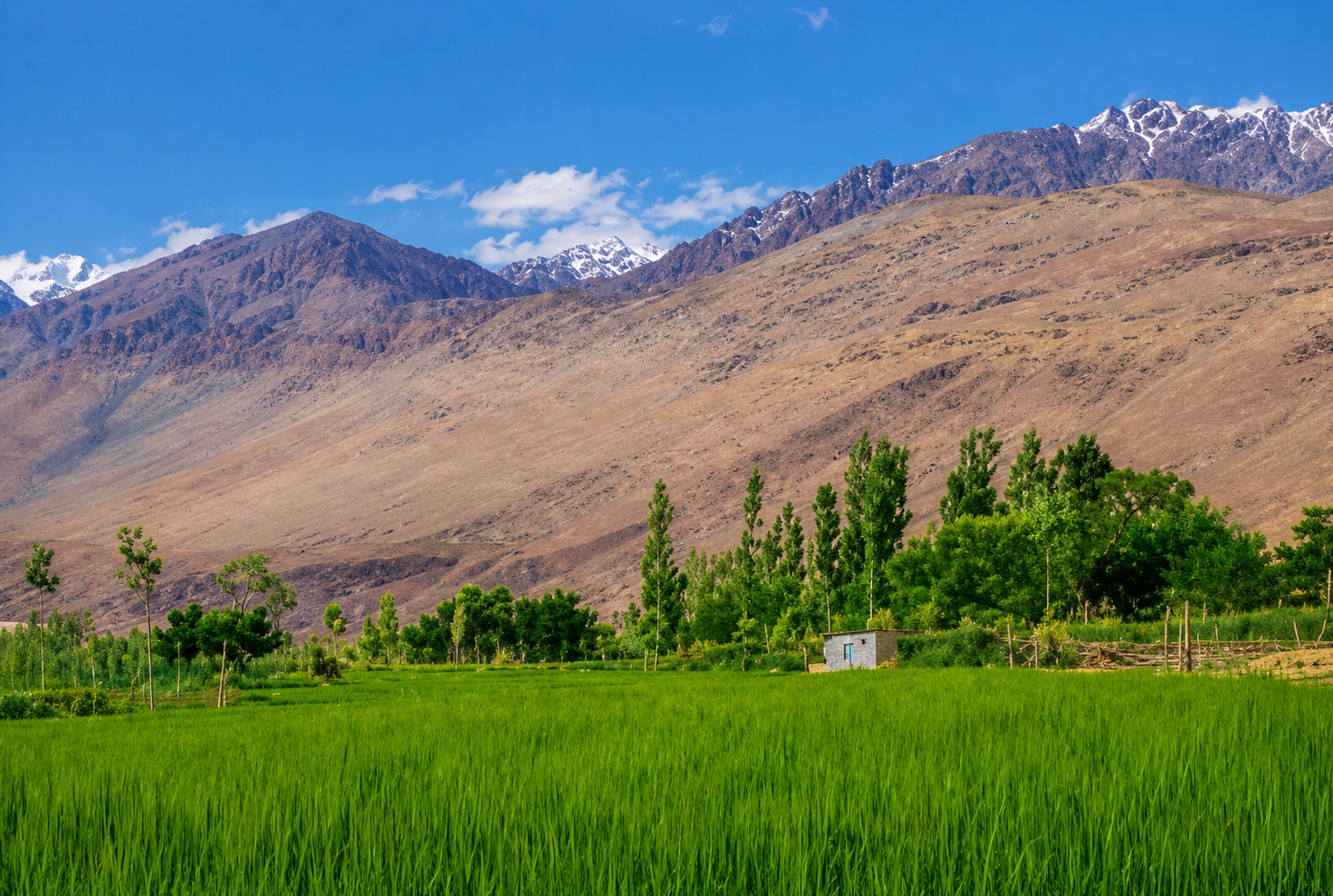
Initiated by the Department of Agriculture with World Bank assistance, the Rajasthan Agriculture Competitiveness Project (RACP) supports smallholder farmers through water conservation and agricultural productivity enhancements. PDCOR was mandated to prepare the Detailed Project Report (DPR) for a pilot rain-fed watershed encompassing about 10,000 Hectares in the Dudu Panchayat Samiti of Jaipur district, covering 24 villages.
GIS Boundary Mapping for Forest Dept
To resolve land conflicts and upgrade the spatial database of forested land, PDCOR and IEISL undertook high-precision geospatial mapping for the Rajasthan Forest Department. The project involved DGPS/ETS technology to map the Badi Line Amer No. 54 Forest Block, the monumentation of Forest Boundary Pillars (FBP), and extensive capacity building and training for forest officials in modern survey technology.
If you require further information on any of our infrastructure projects, please contact us.